
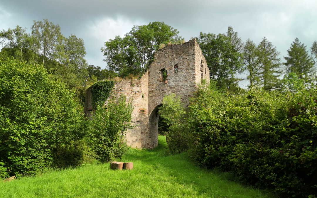
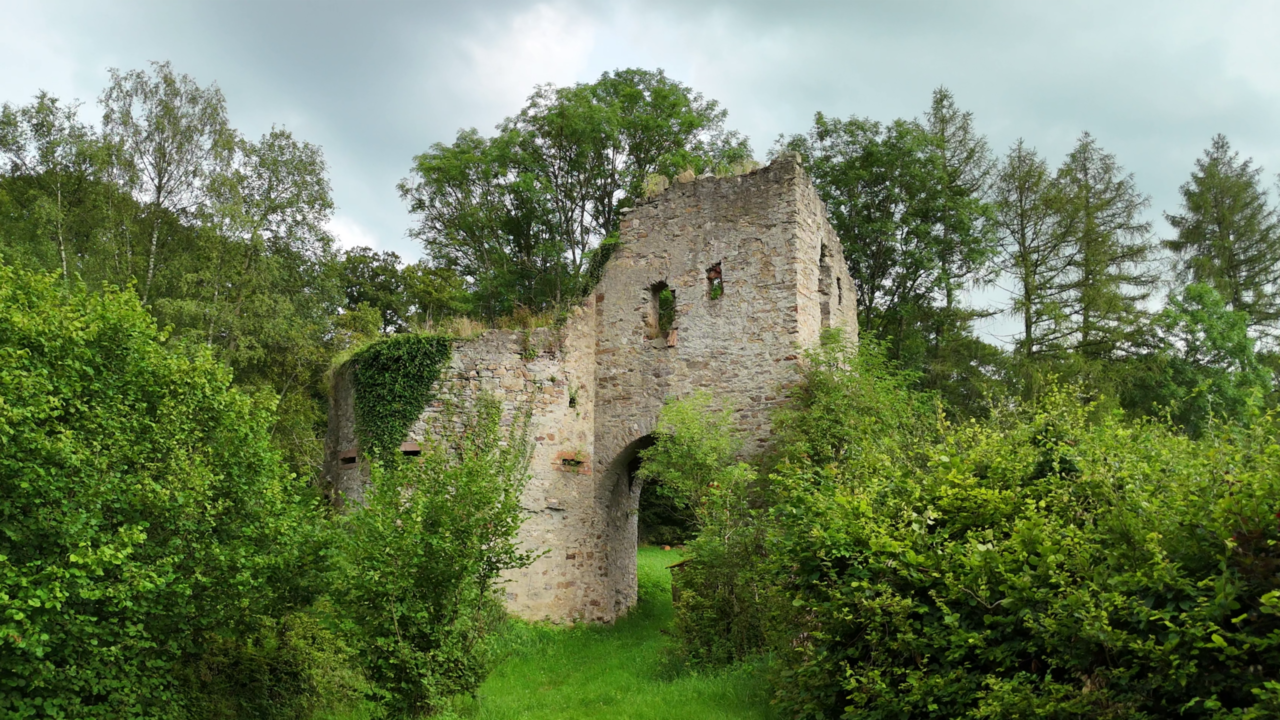
It all began with a mysterious ruin in the woods of the Taunus ridge, which has always fascinated us. The ruin of a fortified gatehouse that does not appear to have been part of any larger defensive complex and stands some distance from any settlements. Only a single date is engraved into the wall: 1494.
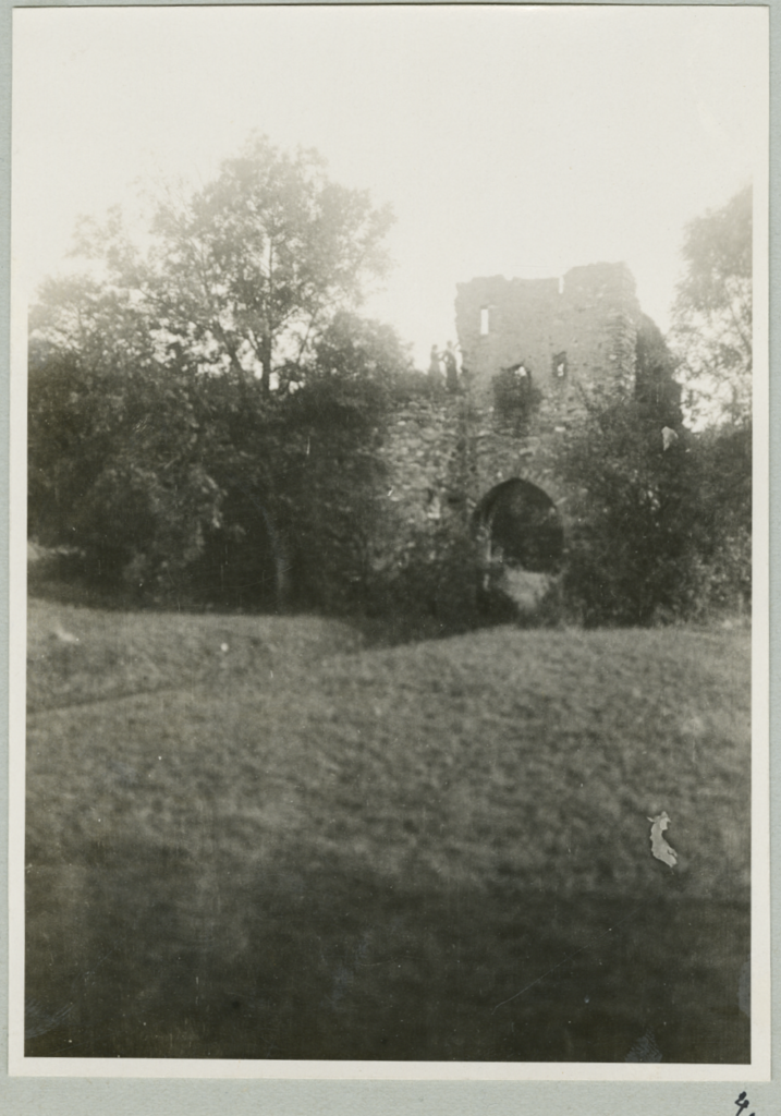
The black-and-white photograph is one of the oldest existing images of the ruin, dating from around 1900. In it, you can still make out parts of the building that have since disappeared. The two upper windows are no longer visible today. This helped us with our interpretation and reconstruction.
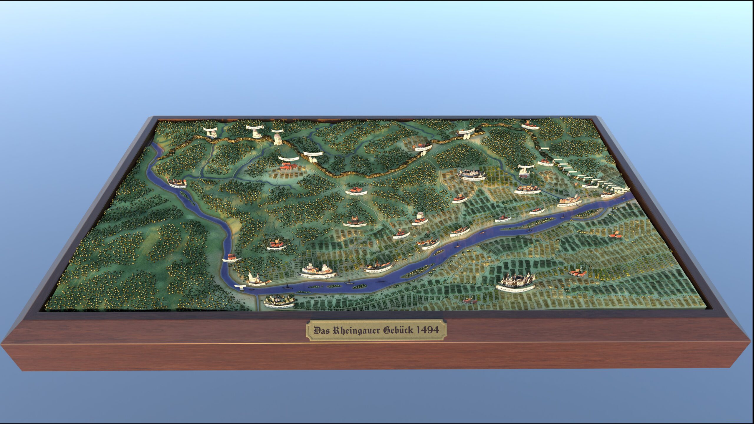
During our research, we managed to unravel the mystery of the Mapper Schanze. In our video, you’ll learn how it was embedded in a vast defence system that provided protection for the Rheingau for centuries since the Middle Ages and which has now almost completely disappeared: the Rheingau Gebück. We also recount a dramatic episode when the Rheingau Gebück became embroiled in the Mainz Diocesan Feud and was even attacked.
The Rheingau Gebück stretched for an astonishing 35 kilometres, making it one of the largest earthworks of the Middle Ages. There were, however, even larger earthworks, such as Offa’s Dyke in Wales, which stretches for several hundred kilometres. A distinctive feature of the Rheingau Gebück is the fact that it was considered impregnable.
The impassability was due to the way it was constructed. In the first stage, bushes and trees were planted and left to grow. In subsequent stages, the trees were pruned, tied down and left to grow further. Hence the name ‘Gebück’.
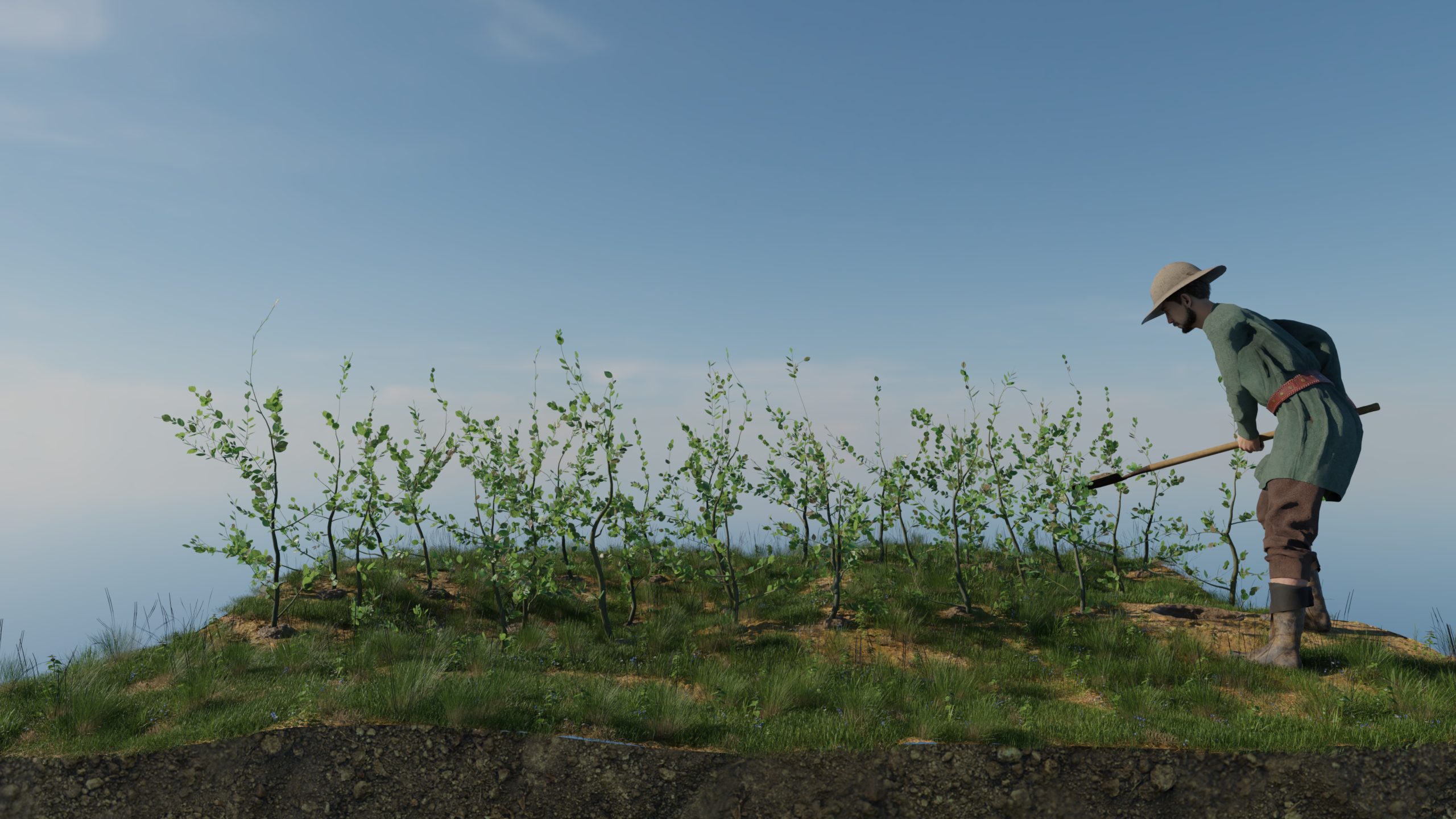
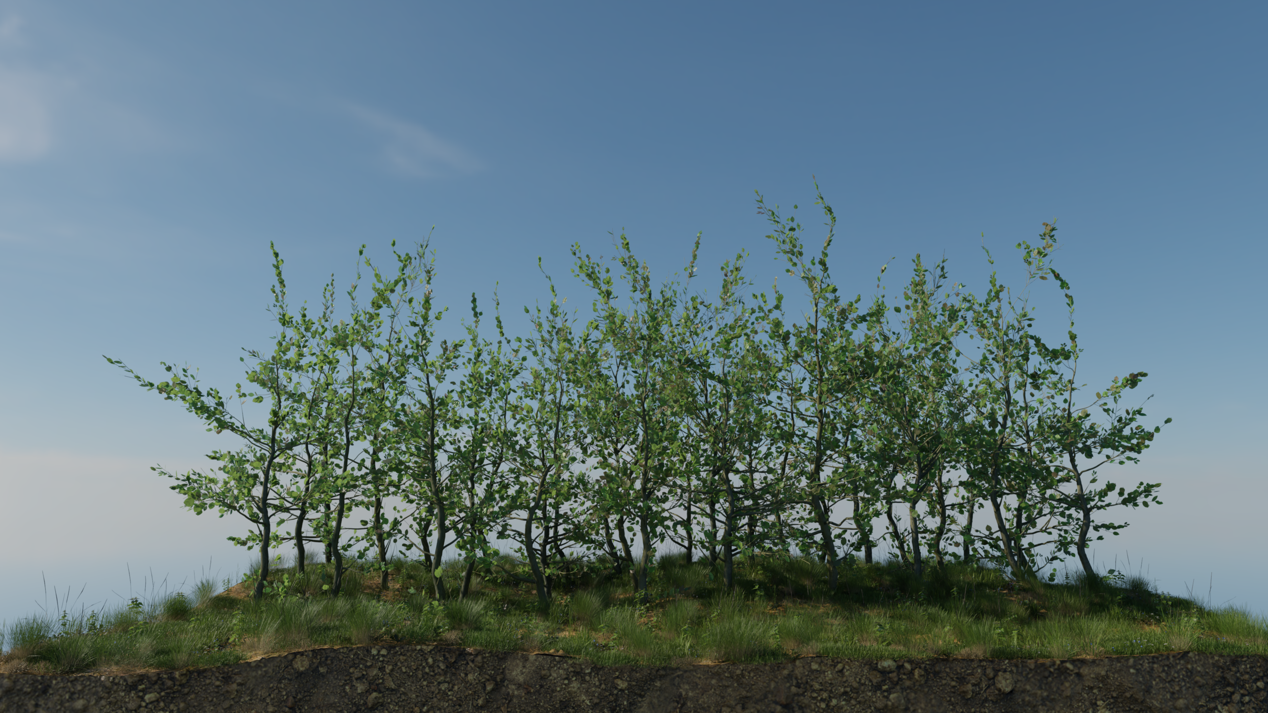
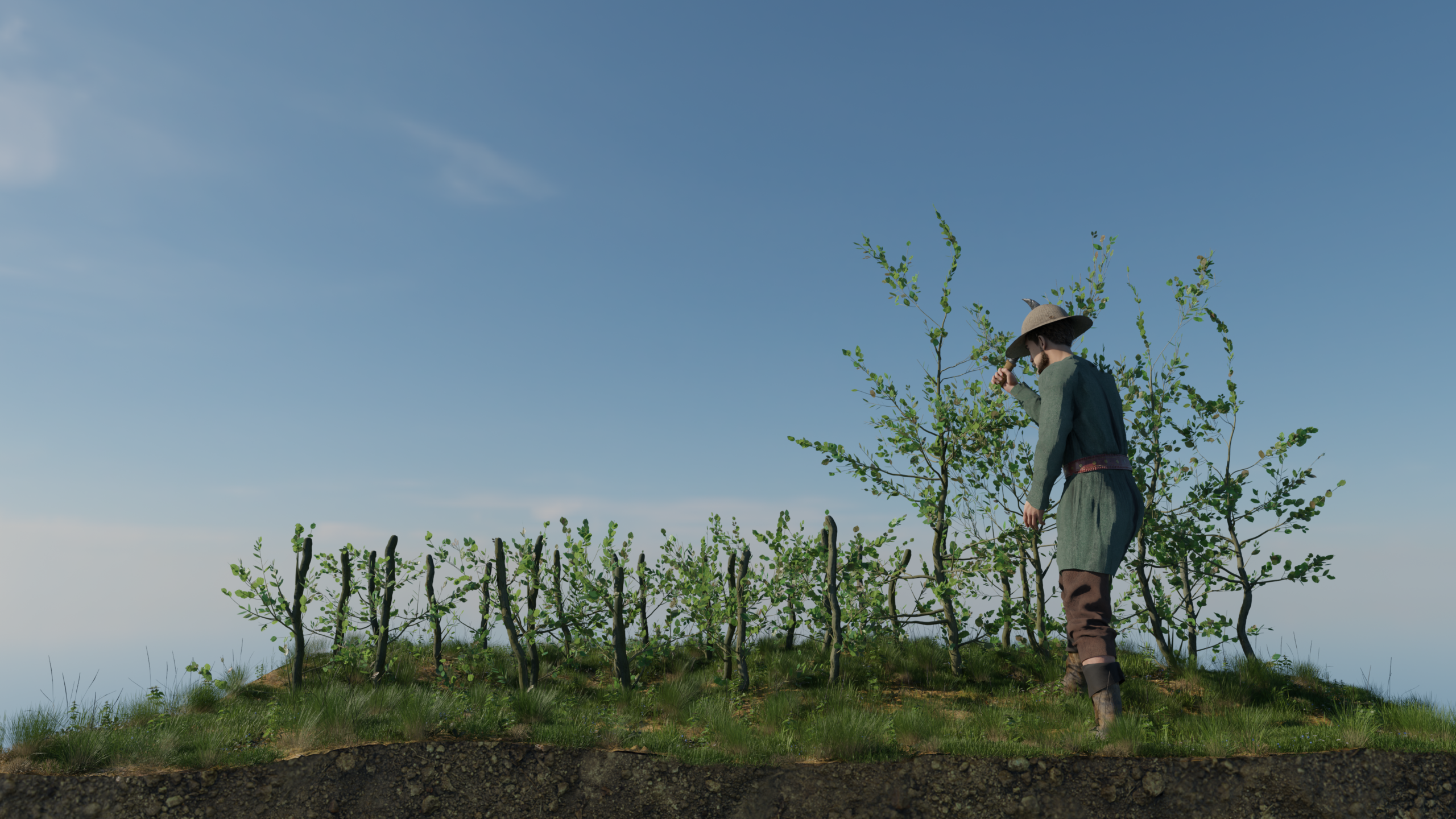
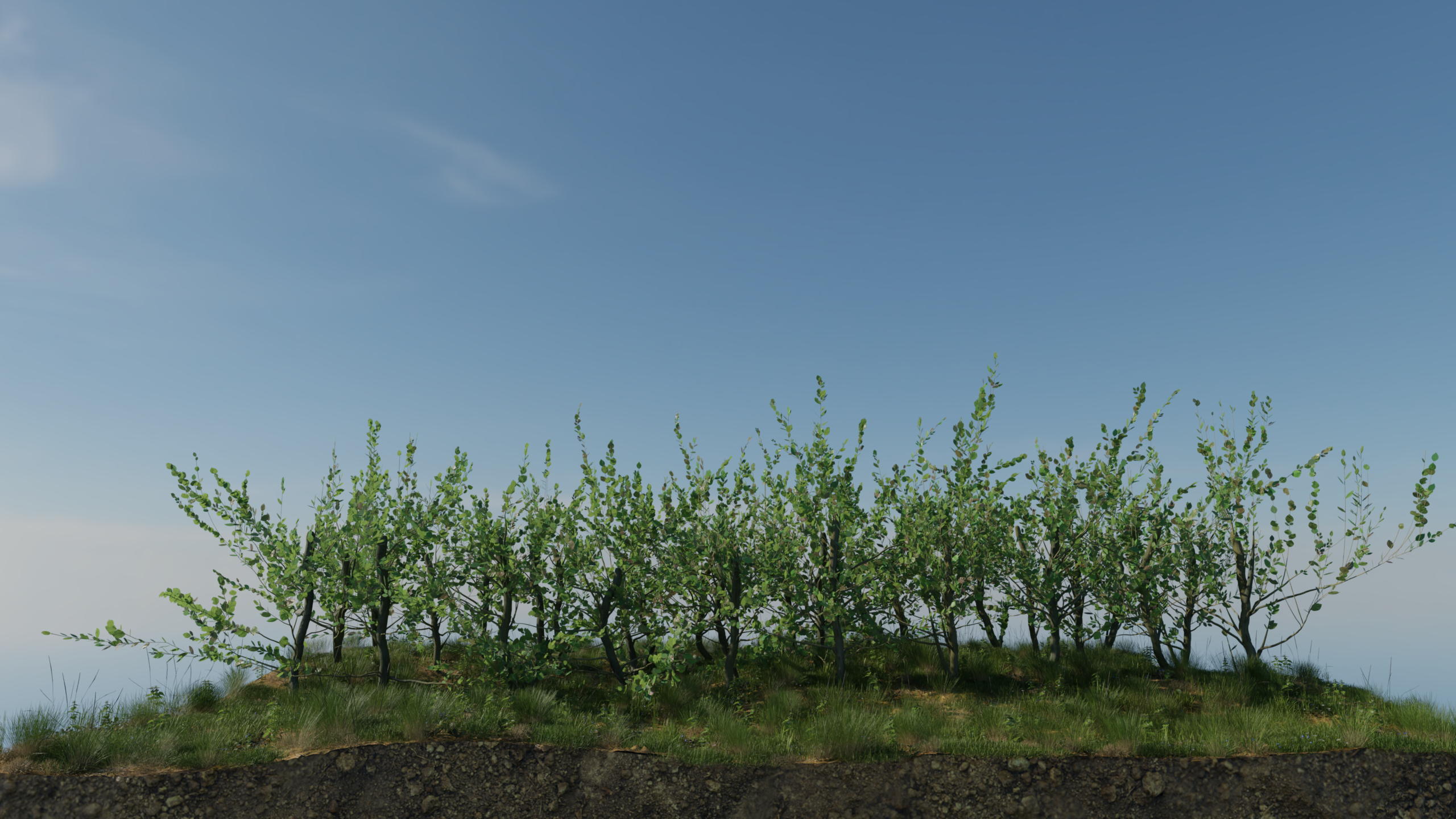
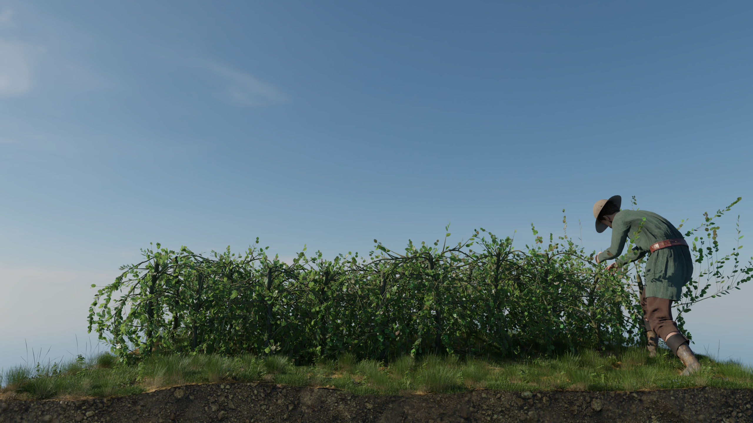
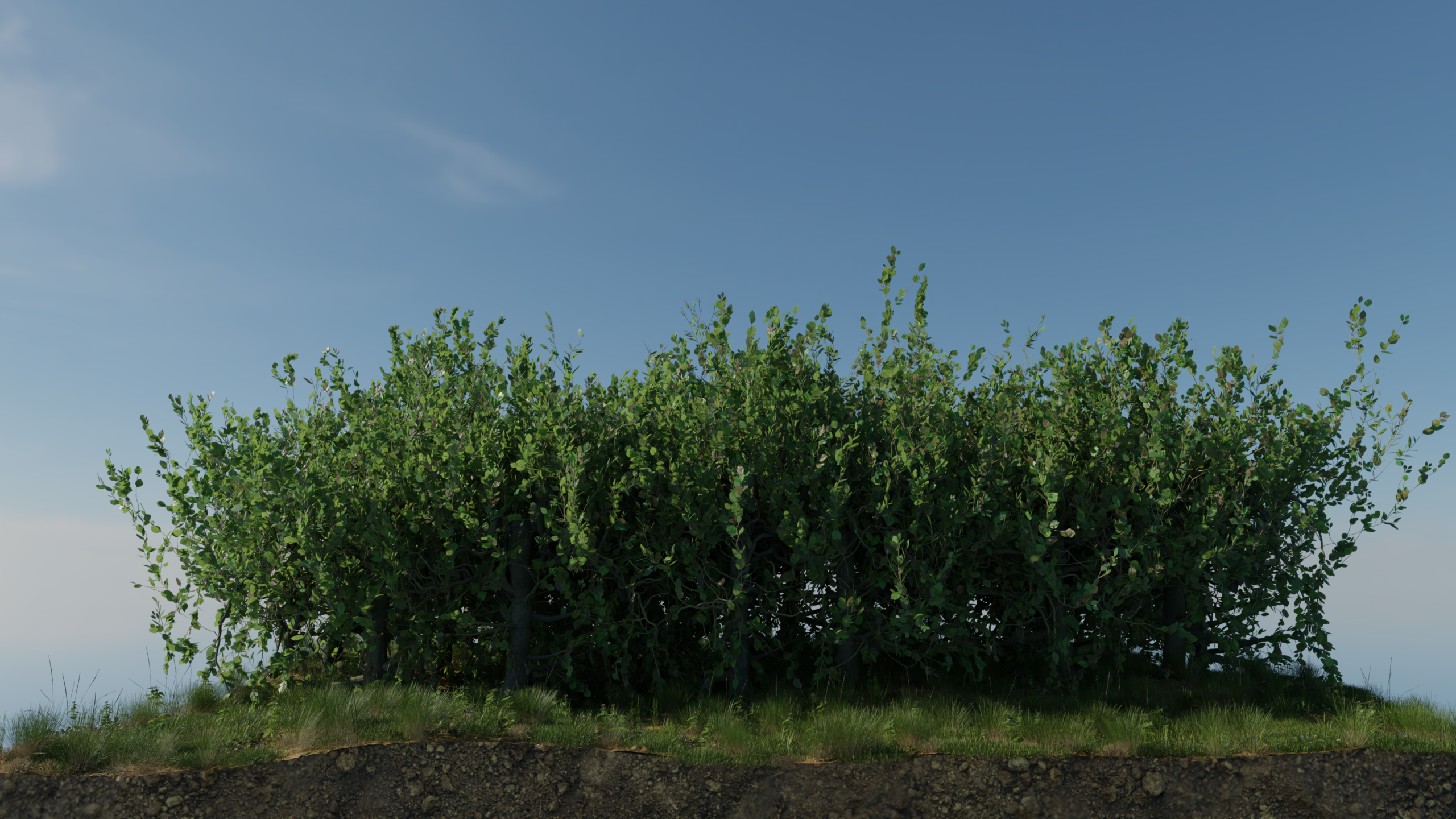
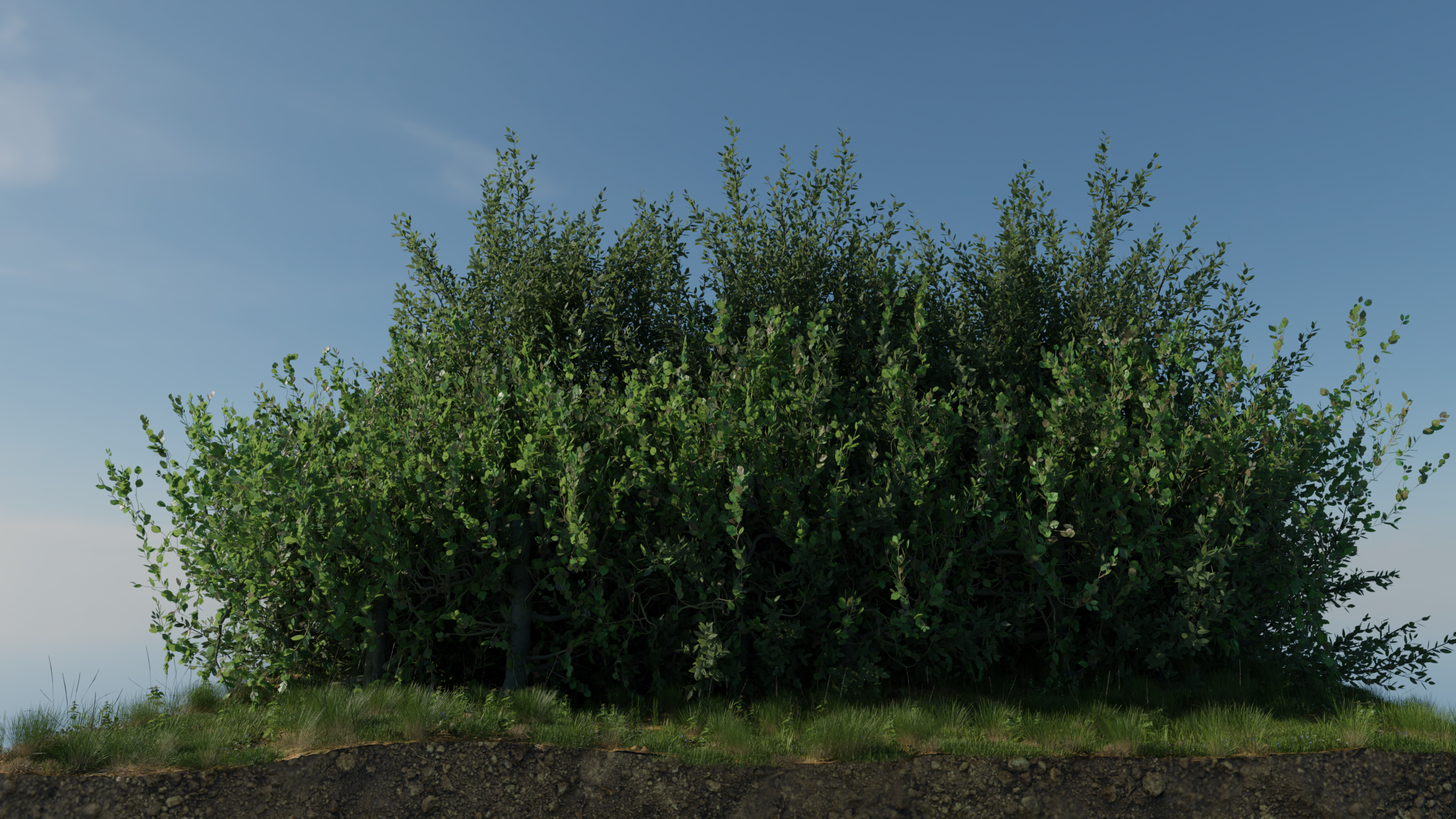
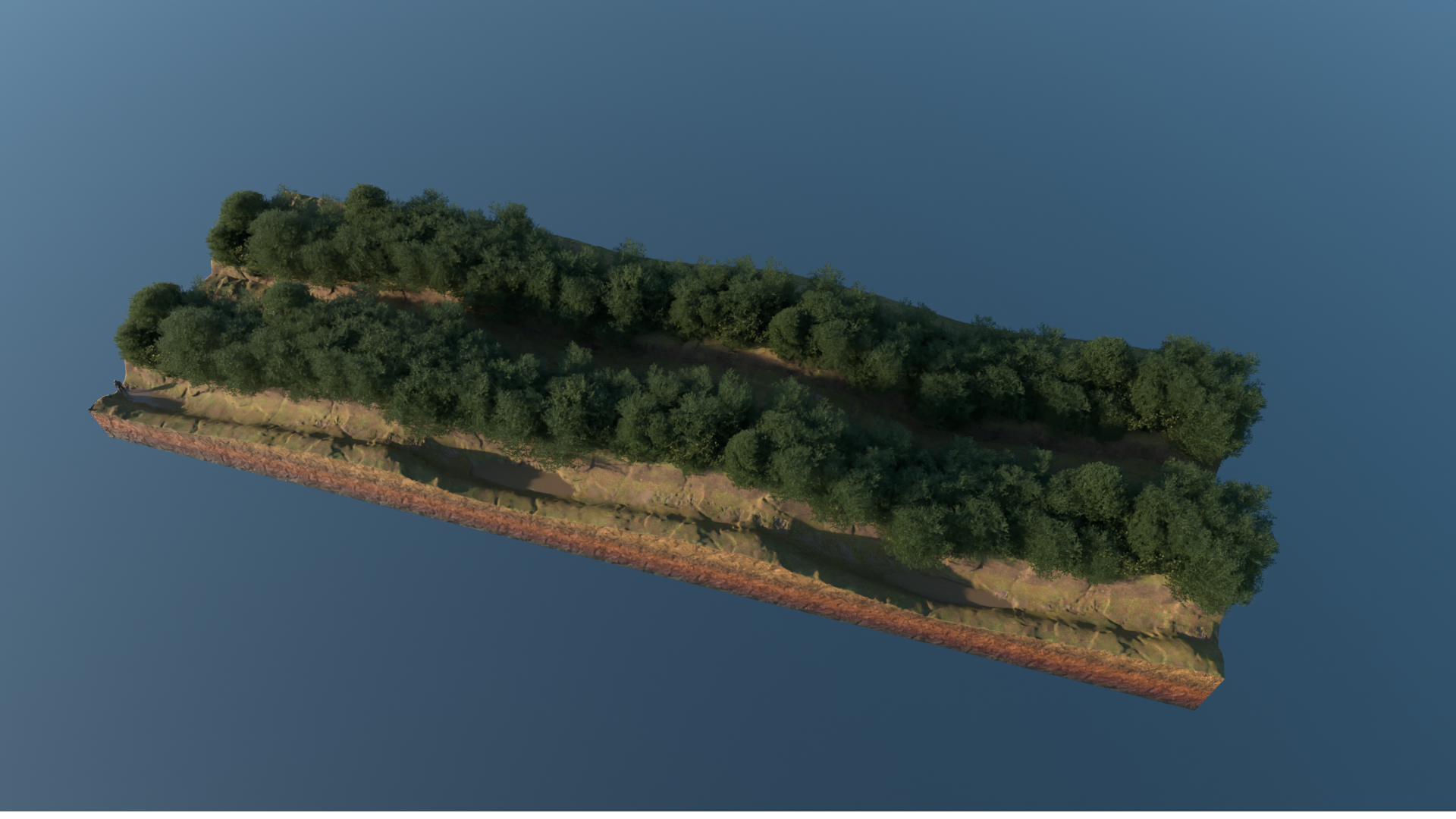
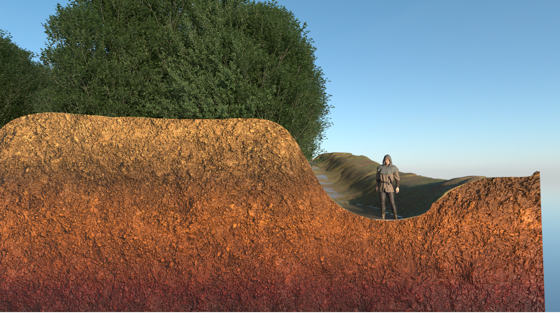
In this way, an impenetrable thicket was created. This was further reinforced by ditches. On the river side, the Rheingau was naturally protected from attackers.
In some parts of the Taunus, you can still see strangely shaped trees today. These are the last remaining plant-based reminders of the practice of pollarding. Yet these traces will gradually disappear over time.
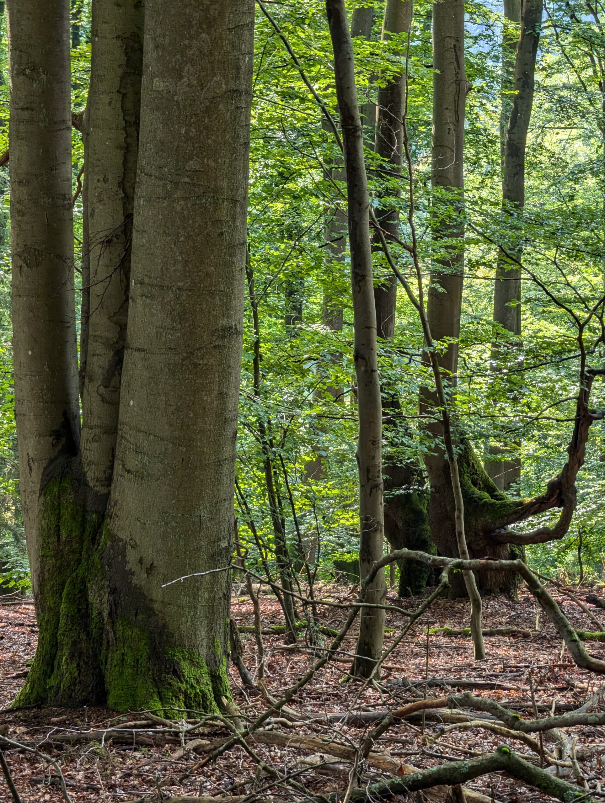
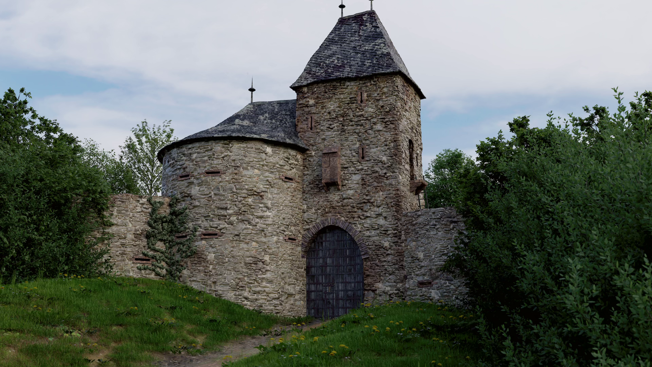
The Rheingau was a prosperous region that formed part of the territory of the Archbishopric and Electorate of Mainz. Understandably, the Archbishop wished to protect this area from the covetous designs of neighbouring states. Against this backdrop, he did not content himself with a hedge, but also had stone gatehouses – known as bulwarks – built at the border crossings towards the end of the 15th century. Unfortunately, of these bulwarks, only the ruins of the Mapper Schanze near Hausen vor der Höhe remain. When the archway lost its strategic defensive function with the advent of modern firearms, the bulwarks were dismantled and the stones used for new buildings. It is possible that the Mapper Schanze was too remote for anyone to have gone to the trouble of removing the stones. Among the bulwarks, it was one of the smaller and less significant ones.
Our reconstruction is an approximation of what the Mapper Schanze might have originally looked like.
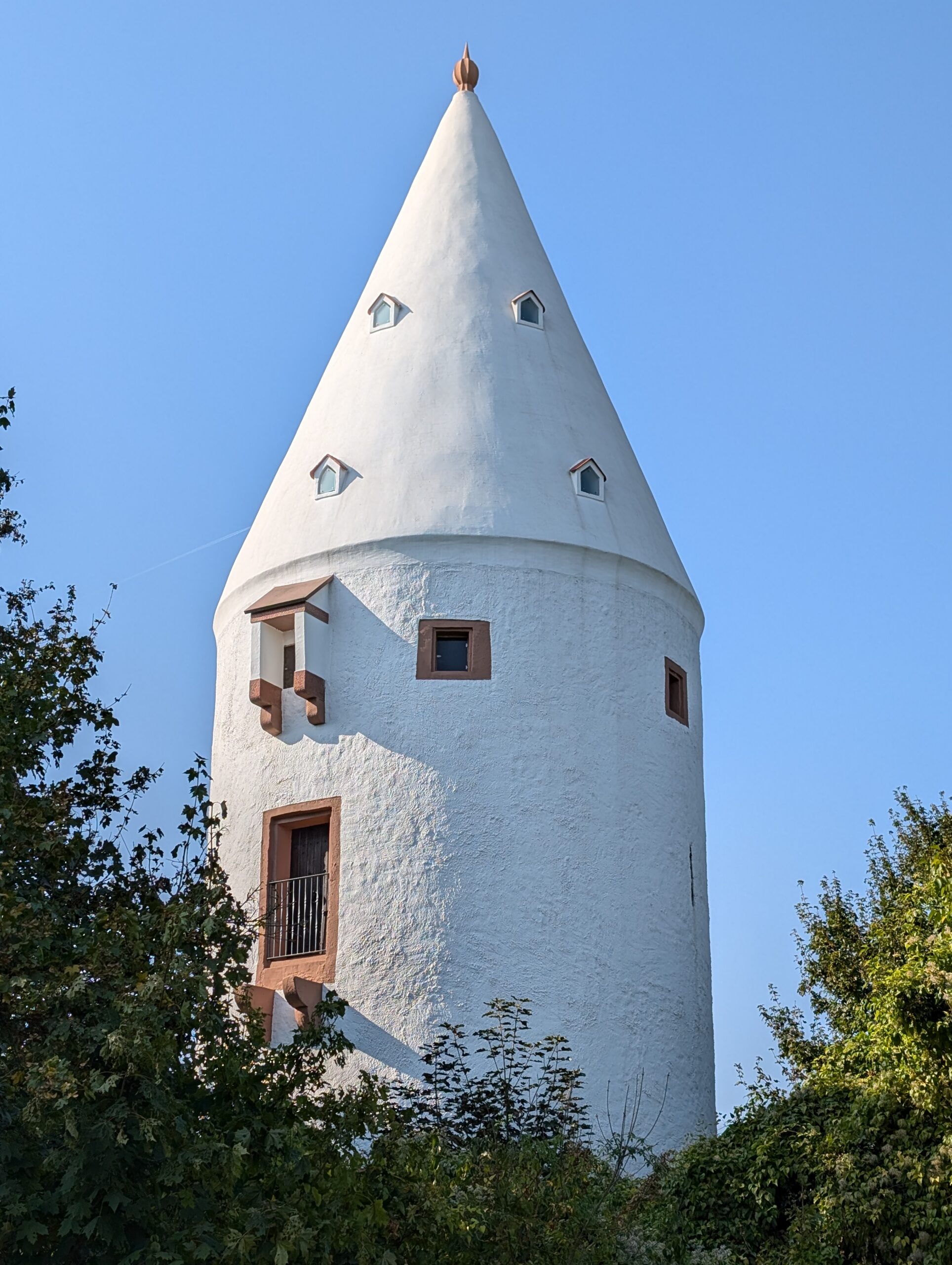
Defensive structures such as the Rheingau Gebück were found throughout Europe, albeit usually on a smaller scale. The Erbenheimer Warte near Wiesbaden, built between 1492 and 1497, was also part of a defensive structure belonging to the Archdiocese of Mainz, the Kasteler Landwehr. This defensive structure served to protect the Archdiocese’s holdings in the northern Main region.
As can still be seen in the picture today, the entrance to the tower was originally on the upper floor and could only be reached via a ladder. In the event of danger, the ladder was simply pulled in.